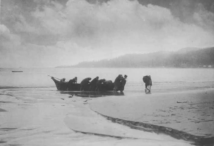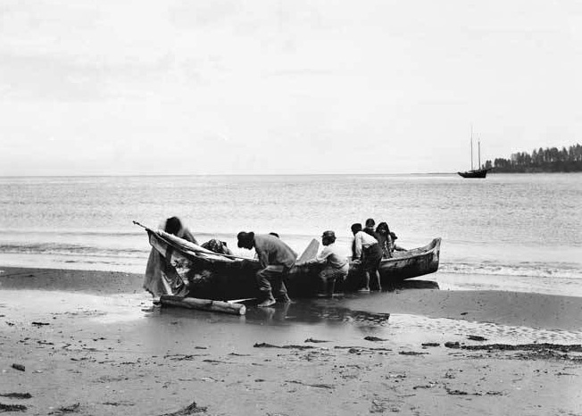
The Makah canoe journey predates history and continues today.
Every year the Makah and other tribes embark on long journeys, paddling hundreds of miles in ocean going canoes to tribes along the coast of Washington and British Columbia, or inland to the tribes of the Puget Sound. Each stop on their journey is marked with a welcoming celebration from tribe that has received the request to land on their territory. The paddlers are welcomed ashore with songs and dances, then a dinner is held to honor the visitors. They camp on the beach and depart early in the morning for the next destination. At the end of the journey, celebrations are held in a predetermined location. This is where the journey will end. The celebration typically lasts for days. This is the place where all the participating canoes will meet and celebrate their arrival and the completion of their journey with family songs, dances and a feast.
Makah Canoe Construction
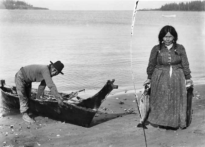
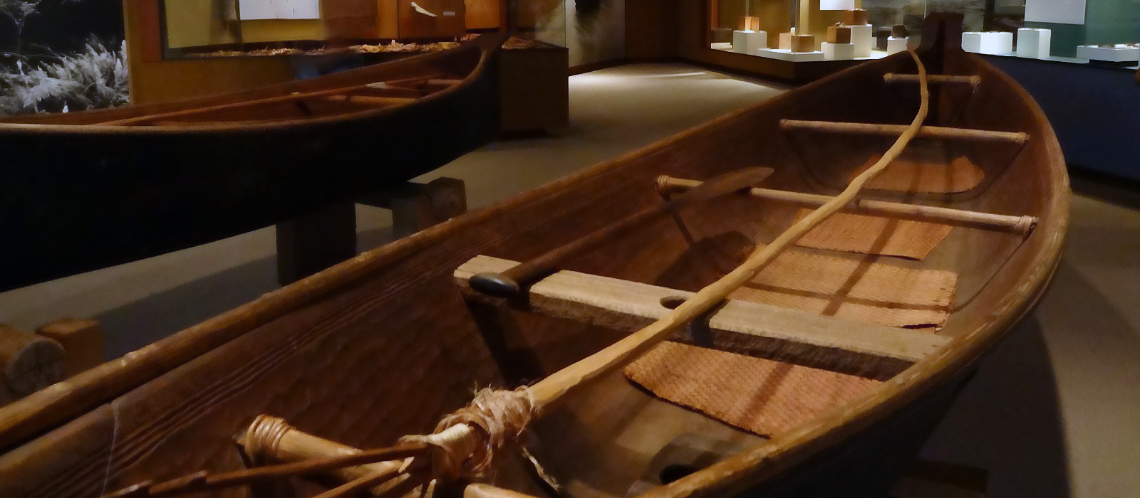
Canoe makers turned out all sizes of craft from practice canoes for children, 30 feet long whaling canoes and war canoes that were even longer. They hollowed out red cedar logs and then they were steamed by pouring in water and fire-heated rocks. Softened this way, the sides could be flared, while still maintaining the strength of the straight grain. If the flares were carved in, the sides would be cross grained and weak.
Canoe sides found at Ozette have hardwood gunwales laced on to protect sides from the constant wear of paddling. Such strips were easy to replace. Sails have not been found in the archaeological deposits. Nobody knows how far back they date.
Ensuring a Safe Journey
The early Makah knew how to read the weather and predict what the specifics meant at each location. Safety at sea depended on this. They watched the color of the sky, the direction of the wind, and listened to the sound of the water. They noticed how vapors rose from the earth and hung against the hills. They knew the positions of the stars and moon according to the seasons. Men sat on the beach in the evening and watched these signs and nobody bothered them. Everyone knew lives depended on this knowledge.
Natural landmarks guided navigation on clear days by using visual cues to line up islands with each other or the mainland. The appearance or disappearance of certain peaks by triangulating from the water was used. If fog came in, the men would steer by the set of the ocean swells and the feel of familiar tide rips. Whether the surf broke on headlands or rocky islets, it sounded different than waves against the sand. The call of nesting sea birds characterized certain islands. Click images below to view larger photos.